
-
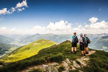
Experiences & Mountains
-
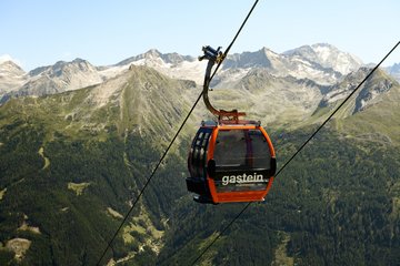
Tickets & lifts
-
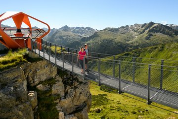
Gastein 360°
- Events & tours
-
Info


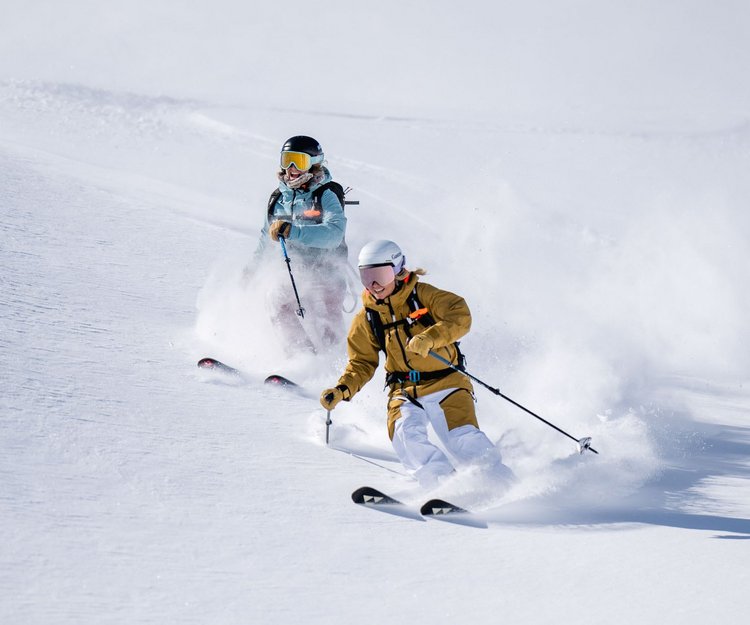
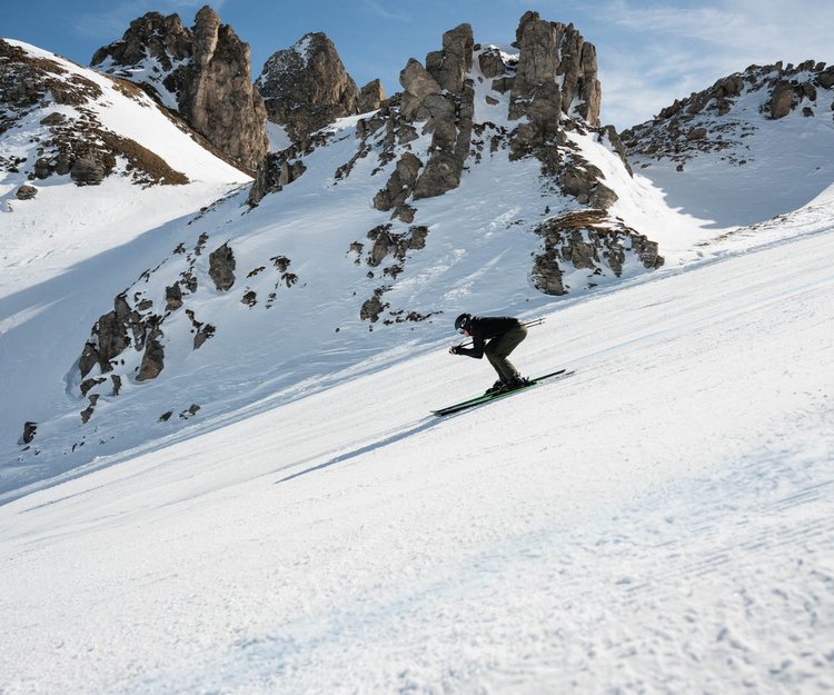
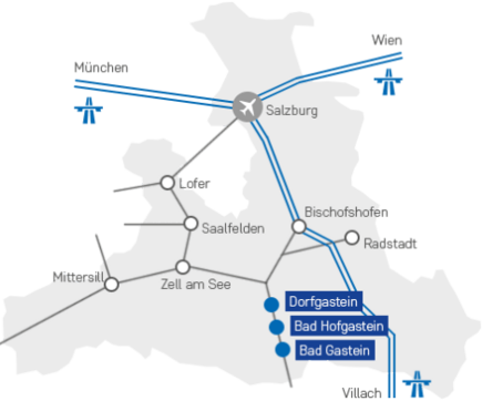
Skiing and snowboarding in Skigastein
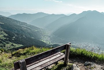
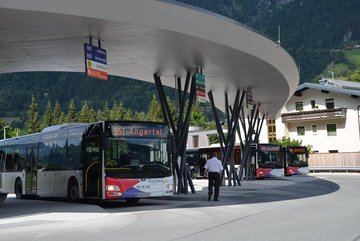
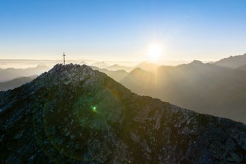
What does your ideal winter sports vacation look like? Do you love to carve down perfectly groomed slopes? Or do you prefer action-packed powder descents? We promise: In Skigastein, you can find the perfect conditions for the winter vacation of your dreams, tailored to your individual needs and wishes. Expect four varied ski resorts, 200 kilometers of slopes located at up to 2,650 meters above sea level, a perfectly connected infrastructure including a ski bus, and: mouth-watering mountain lodge cuisine. Welcome to Skigastein, the perfect vacation destination for winter sports enthusiasts like you!


Ski resorts in Gastein
Blue, red, or black: Thanks to its varied ski resorts, Skigastein is a popular destination for winter sports enthusiasts of all skill levels. While experienced riders can swoosh down the more challenging ski runs, beginners enjoy the gentle hills at the family-friendly ski resorts. Here’s an overview of the four areas:
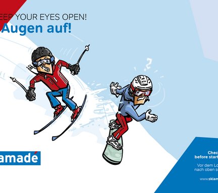
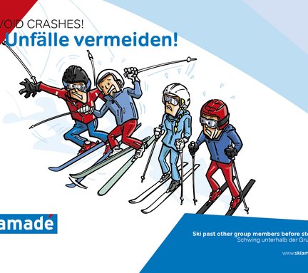
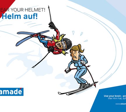

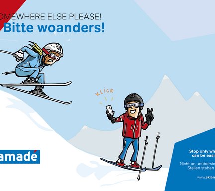
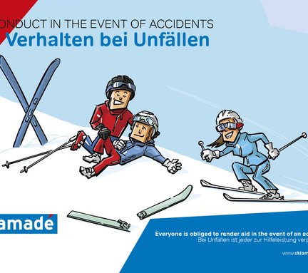
Slope rules
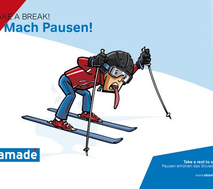
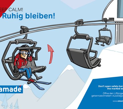
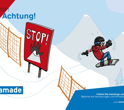
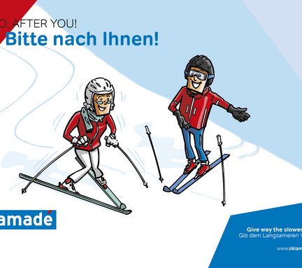
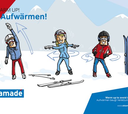
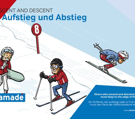
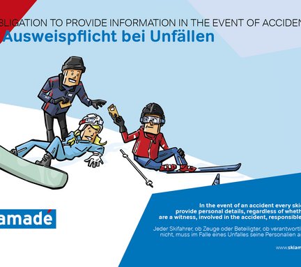
Caution, mutual courtesy and alertness are essential for staying safe on the slopes. Only if everyone sticks to certain rules, skiing becomes an amazing winter experience. For correct behaviour on and off the slopes, FIS has developed a special code of conduct. Every skier and snowboarder in Ski amadé should be familiar with it to ensure safe ski pleasure.
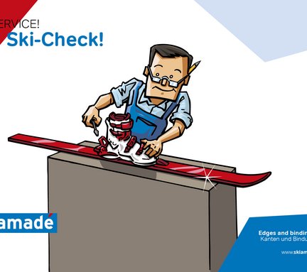
Ski rental & services
Skigastein provides you with everything you need for a perfect winter vacation. The only thing missing is the perfect equipment? If you don’t own a pair of skis, or if your equipment is too old or heavy to lug around, the local ski rental shops are a great solution. Whether it’s carving skis, cross-country skis, or snowboards – simply rent equipment that’s perfect for you!t!
The best thing about it: All rental shops are located in the vicinity of the ski resorts’ valley stations.
In addition to top-of-the-line gear for resort skiing, cross-country skiing, and winter sports at the fun parks, the rental shops also offer stellar services and top-class product advice. The edges of your skis don’t have enough grip? Don’t worry: The qualified staff at the ski rental and service shops will get your equipment back into shape. Whether your bindings need adjusting, or your skis need waxing – the local experts are happy to help.
Ski & snowboard schools
Are you a first-timer on the ski runs or on the cross-country trails? Then the professional ski and snowboard schools in Skigastein are your first ports of call. With the help of qualified instructors, you will be able to master your first turns in the snow in no time at all. If you have the basics down pat, various courses can help you hone your ski and snowboard skills and fine-tune your technique. Do you want to hit the region’s cross-country skiing trails? Check out the cross-country skiing schools of Skigastein for some great offers!
important news 1
- CANCELED Evening ride up Graukogel: Due to the poor weather forecast, tonight's evening ride will not take place

Copyright © 2026